 |
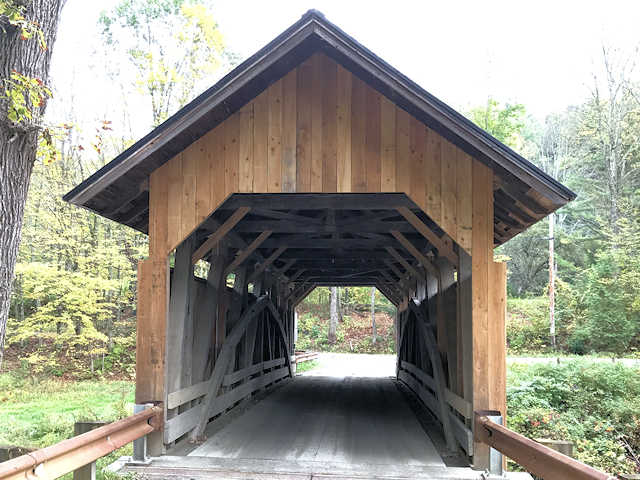
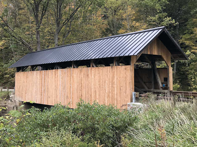
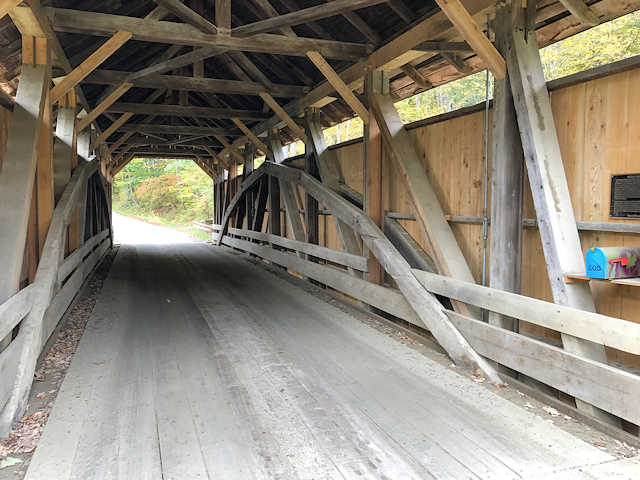
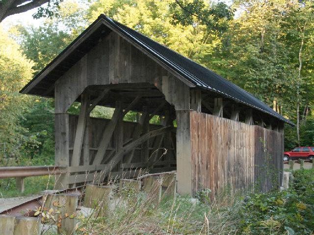
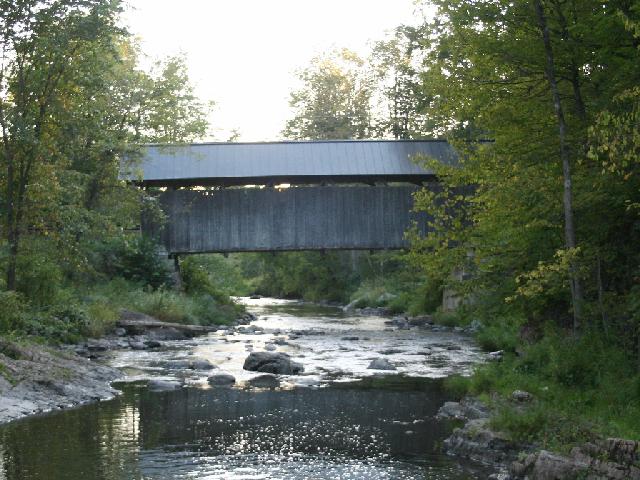
| (Upper or Seguin or Brown’s, 71', 1850, 45-04-02) across Lewis Creek SE of Charlotte, Charlotte Township, Chittenden County, VT. Church Hill Rd. E. 0.7 miles from jct with US7 on the E. side of Charlotte, continue E. on Hinesburg Rd. 3.3 miles, S. on Bean Rd.1.4 miles, E., curves S., & back E. on Prindle Rd. 1.4 miles, S. on Roscoe Rd. 0.15 miles to the bridge. (N44 17.338 W73 09.009) Top 3 photos by Bill Meador 10-6-17. |
 |
 |
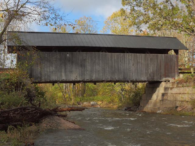 |
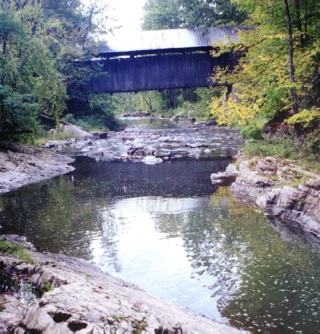
| (Upper or Seguin or Brown’s, 71', 1850, 45-04-02) across Lewis Creek SE of Charlotte, Charlotte Township, Chittenden County, VT. Church Hill Rd. E. 0.7 miles from jct with US7 on the E. side of Charlotte, continue E. on Hinesburg Rd. 3.3 miles, S. on Bean Rd.1.4 miles, E., curves S., & back E. on Prindle Rd. 1.4 miles, S. on Roscoe Rd. 0.15 miles to the bridge. (N44 17.338 W73 09.009) Photo by Sandra Puckett 10-20-10. |
 |
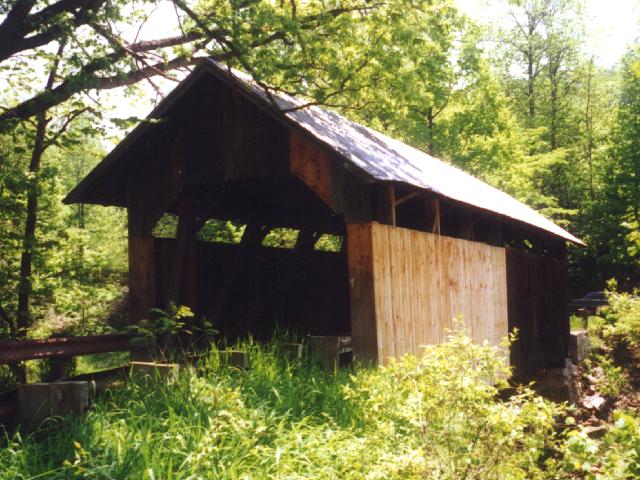
| Photos 5 & 6 by Sandra Puckett 09-2009. |
 |
 |
| Photo by Pat Cook 9-23-01. |
 |
| Photo by Pat Cook 5-31-96. |